Survey

PARTNERS. EVERY STEP OF THE WAY.
LOCATION
Indianapolis, Indiana
INDIANAPOLIS CULTURAL TRAIL
Mobile LiDAR Survey Services
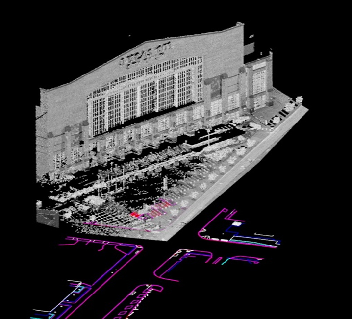
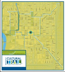
The Cultural Trail is a pedestrian and bicycle path that connects the different neighborhoods, Cultural Districts and entertainment amenities of downtown Indianapolis. VS provided all the surveying services for all 8 sections of the Cultural Trail Project beginning with the east section and continuing through the South Street (from New Jersey to Lucas Oil Stadium) and Indiana Avenue (from St. Clair to Fall Creek) Extensions. Surveying methods changed dramatically in that time, but the quality surveys delivered by VS did not.
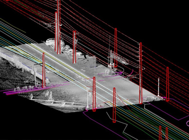
Due to the high accuracy and tight standards needed to construct these projects, VS had to expand significant effort to obtain spot elevation data on some of the earlier sections. The advances in LiDAR technology and VS early adoption allowed for a much easier process in the 2017 surveys by using mobile LiDAR and not need to go back to take direct survey observations at tie-in locations after preliminary design. The use of the SPC system was critical to ensure that the survey control was consistent throughout the life of the project. VS field crews took advantage of a local Real-time GPS Network to establish and check project control throughout each phase. To keep up with the accelerated project schedule VS employed as many as five field crews on the Cultural Trail at one time. The latest in surveying technology was utilized including GPS, Robotic total stations and NGS’s OPUS software.
